Strawberry Peak
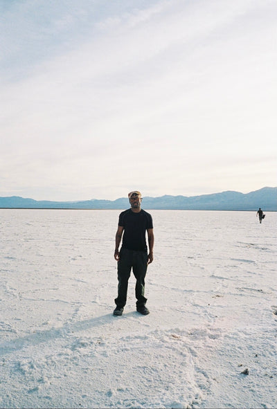
Living in Los Angeles, or California generally, for a good part of the year midday can be too damned hot to be worth venturing out into the canyonlands and mountains for a quick escape. Enter the art of the Sunset hike. It’s not for everyone, but if you aren’t afraid of the dark and your keen on getting to see an amazing sunset, leaving L.A. at before 4:00pm during the longer days of the year for a quick escape might be just your thing.
The short motivational pitch for heading to Strawberry Peak; this is the highest peak in the San Gabriel mountains that surround L.A. and that means you get the most sunset for your effort. Further, the last bit of the climb is pretty rocky and loose, and with about an hour’s drive from downtown, the tourist factor will be near zero and you’ll probably have the trail all to yourselves.

Basic Info:
Trailhead address: Angeles Crest Highway & Mount Wilson Red Box Road, Angeles National Forest, Altadena, CA 91001
Trailhead coordinates: 34.2581, -118.1049 (34° 15′ 29.15″N 118° 06′ 17.64″W)
Destination: Strawberry Peak
Round Trip Distance: 7.5 Miles
Elevation Gain: 1,500 Ft.
Time Needed On Trail: 4 hours
Driving from Hatchet Supply to Red Box Picnic Area will take about an hour.
Trailhead is at mile marker 38.4 on the Angeles Crest Highway
The Essential Pack List:
- Water & Snacks for 4 hours
- Radical Sunski Shades
- Appropriate Hiking Footwear
- Head Lamp for After Sunset
- Extra Layer For Night
The Nice to Have’s:
- Klattermusen Eir S/S Tee
- Nalgene 1 QT Custom Water Bottle by Hatchet Supply
- Mystery Ranch Urban Assault 21L Backpack
- Topo Designs Mini Quick Pack
- Black Diamond Storm Headlamp

First, escape the gravity of Los Angeles and its tangle of freeways, then head to the Red Box Picnic area that’s about 13.7 miles up the Angeles Crest Highway from its intersection with the road to Mount Wilson. From the parking lot look for the wood post for the Strawberry Peak Trail. Keep to the single-track and watch for the Angeles Crest Highway below.
Your next check point will be at the Lawlor Saddle that sits between Mount Lawlor and Strawberry Peak about 2.5 miles into your hike. From here on out, the trail will get a little harder too, but you’ll be able to spy Strawberry Peak and the next 1000 feet of elevation you’ll need to climb. You could take a rest here, maybe take in some views or document your surroundings.
Make sure to turn left here for the Strawberry Peak Trail and take in the views of the San Gabriels and the flora and fauna surrounding the trail. 
The trail isn’t exactly clear at points. You’ll have to determine the best way forward amongst a series of smaller paths. Keep an eye for footprints and other signs of past hikers, and if you spot any trash, be sure to pick it up! Keep heading up the ridgeline and you’ll stay on course.
At this point, someone’s complaining. Go through the grumpy hiker checklist and make sure everyone is drinking water, eating their snacks, has their shoes tied, and if you have a couple who is fighting, it’s time to separate them. It’s going to be so good when you reach the top, we promise, just keep pushing on. To diffuse the tension, this may be a great time to share your knowledge of the trail with a, “Not too many people know this, but… Strawberry Peak got its name because it looks like a stem-down strawberry.” Then pause to let your crew debate if this is actually the case or not. Breaks over, now last push to the top!

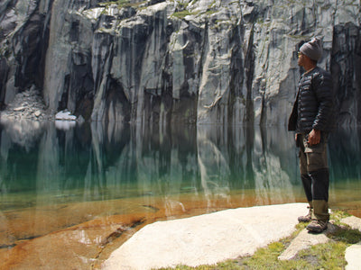
We give the view from the 6,164-foot summit 5-stars. Also, if you timed this right you are going to watch the ocean swallow the sun behind the distant City of Angles. It was here where we encountered trail friend Rattle Snake. Even late in the day, it was warm enough for him to be out and about. Thankfully he gave us a good warning before anyone stepped into his personal space.

Be sure to not get too close, and of course, grab a photo or two so your friends will believe you later.

Okay, now views…


Now, here’s the fun part, cause it’s dark out. You are going to hike down the way you came, descending 950 feet over 1.25 miles to Lawlor Saddle and another 560 feet over 2.5 miles down to Red Box Station to complete this 7.5-mile round trip hike. So don your headlamps, put on your extra layers, and keep a close eye on the trail.

Take a last look over the edge to the city below before you descend.

Watch out for night-time trail friend Mr. Scorpion…


Leave a comment